Google DeepMind and WRI Release ForTy to Map Global Forest Types
Google DeepMind and the World Resources Institute have launched ForTy, a 10-meter resolution AI model classifying global forest types to support supply chain compliance.
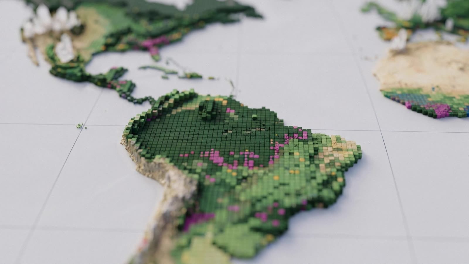
Google DeepMind and the World Resources Institute have introduced ForTy, an artificial intelligence system designed to map and classify the world's forests at a 10-meter resolution. Short for Forest Typology, the tool categorizes global land cover into six distinct groups: primary forest, naturally regenerating forest, planted forest, plantation forest, tree crops like cocoa, rubber, and oil palm, and other land. While conventional satellite tools primarily flag the presence of tree canopy, ForTy attempts to identify how forested land is actually used, establishing a worldwide baseline for the year 2020.
Mapping forests for regulatory compliance
The initiative is largely driven by legal mandates, most notably the European Union Regulation on Deforestation-free Products (EUDR). This regulation bans goods tied to land deforested or degraded after December 31, 2020, including instances where primary forests were converted into plantations. Because agricultural operations such as oil palm and cocoa farms do not qualify as natural forest, enterprises assessing supply chain liability require verified historical data on how land was configured at the end of 2020. DeepMind notes that ForTy can also support global conservation initiatives, such as the Tropical Forest Forever Facility and the United Nations target to protect 30 percent of the planet's land by 2030.
Separating natural forests from commercial timber or agricultural plantings poses serious computer vision challenges. Managed tree crops and planted forests can visually resemble natural ecosystems from orbit, while cleared commercial plots still technically qualify as forestry land under legal definitions despite appearing bare. To overcome this, ForTy relies on Google DeepMind's AlphaEarth Foundations model, first introduced in July 2025. AlphaEarth acts as a virtual satellite by combining optical imagery, radar scans, lidar measurements, and climate simulations into compact embeddings for every 10-meter cell.
ForTy processes these representations through a three-stage machine learning pipeline. An initial model trained on verified sites generates predictions that, when merged with external metrics such as tree height, structures, and forest loss, create an expanded dataset for a second model. A final processing step evaluates several years of imagery to filter out temporal anomalies. Google's Gemini language model assisted researchers in reconciling older training records with EU definitions. During active learning rounds, human experts contributed roughly 43,000 corrections to fix recurring classification errors, such as misidentifying European vineyards as tree crops or mistaking Central American pine stands for planted timber.
Accuracy, regional findings, and edge cases
Independent evaluations of 8,190 sample locations conducted by two experts showed an overall accuracy rate of 90.2 percent. However, the authors point out that this headline figure is heavily supported by the non-forest class, which is simpler to classify. When broken down by category, ForTy accurately identified 89 percent of ground-verified primary forests, but its performance fell to around 60 percent for industrial plantations and roughly 50 percent for tree crops and planted forests. Between 25 and 33 percent of zones classified as plantations or tree crops were false positives.
Despite these classification gaps, ForTy outperformed existing European Commission datasets on identical test benchmarks, registering 95.5 percent versus 93.6 percent on binary forest detection and 90.9 percent versus 87.8 percent on granular forest typology. The model also inherits some historical biases; annotators rarely labeled forests close to roads or human settlements as primary, even when the canopy appeared undisturbed.
Based on ForTy's calculations, the Earth holds approximately 4.1 billion hectares of forest, including 3.9 billion hectares of natural woodland and roughly 2.0 billion hectares of primary forest. Commercial plantations account for 250 million hectares, while tree crops span around 200 million hectares, predominantly in Asia. The model reveals sharp geographical contrasts: while Brazil, Indonesia, and the Democratic Republic of the Congo retain high proportions of natural canopy, roughly two-thirds of Sweden's forest estate consists of planted woodland, leaving natural forest across only about one-fifth of the country.
What it means for developers
For software engineers and data scientists building geospatial, ESG, and supply chain tracking systems, ForTy offers an open foundation. Google DeepMind and WRI have made the underlying dataset, classification layers, and evaluation data freely accessible under a CC BY 4.0 license. The map layers can be queried directly in Google Earth Engine, and the code has been published across the open-source GeeFlow and JEO repositories.
Because the system provides class-specific confidence scores for each pixel, developers are not forced into rigid binary classifications. Instead, engineering teams can configure their own probability thresholds to account for known edge cases, such as agroforestry setups where coffee or cocoa grows beneath natural canopies, or open woodlands that require separate compliance checks under EUDR guidelines.
ForTy also highlights how foundation models and multimodal systems are increasingly combined to process planetary-scale data. Teams building downstream applications that combine vision models with large language models can prototype workflows quickly; developers can try top AI models cheaply through one API at https://apixoai.online, which simplifies testing models like Gemini alongside other leading architectures. As DeepMind continues integrating Earth AI embeddings with Gemini to monitor environmental events like droughts and floods, developers working in climate analytics have an expanding suite of open tools to automate regulatory reporting and environmental risk tracking.
Source: Google Deepmind creates a global map of forests with satellite data and AI — The Decoder. Written by the Apixo team from that report.
One key for Claude, GPT, GLM, DeepSeek and more. Pay per token with crypto.
Get your API key